
GeoVista ドキュメント#
注釈
🚧の付いたコンテンツは、まだ工事中であることを示します。
ようこそ、 geovista のドキュメントへ!
geovista is a pure Python package, built upon PyVista that offers
performant, publication quality 3D cartographic rendering of Earth Science
data.
Our goal is to lower the bar for scientists, such that they can easily analyze, visualize, and explore their rectilinear, curvilinear and unstructured geospatial data interactively in 3D.
We're still busy crafting the documentation, which is incomplete and liable
to change. Thanks for your patience. However, your feedback is important
to us. So feel free to submit a Issue or
Pull-Request to help elevate geovista to the
next level of awesome 🚀
Alternatively, come share with us over on our Discussions. We'd ❤️ to hear from you.

トピックに沿ったテーマ別レッスン。

集中ガイドの宝庫。

深い理解が待っている。

大げさな事実はない。
学習と geovista 知識発見のアプローチを選択してください (Diátaxis)
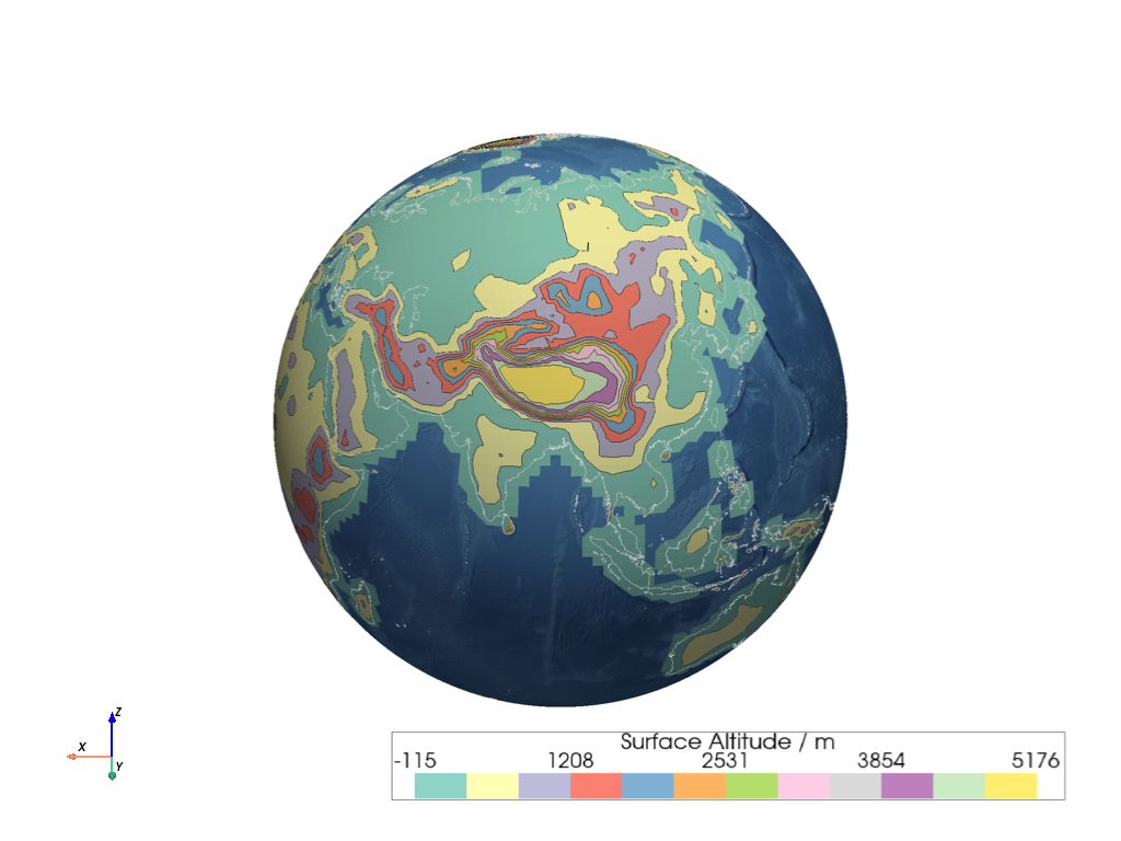
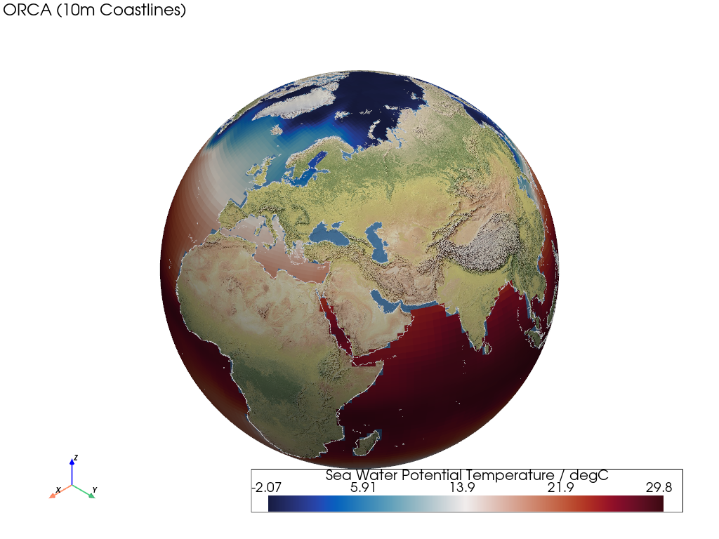
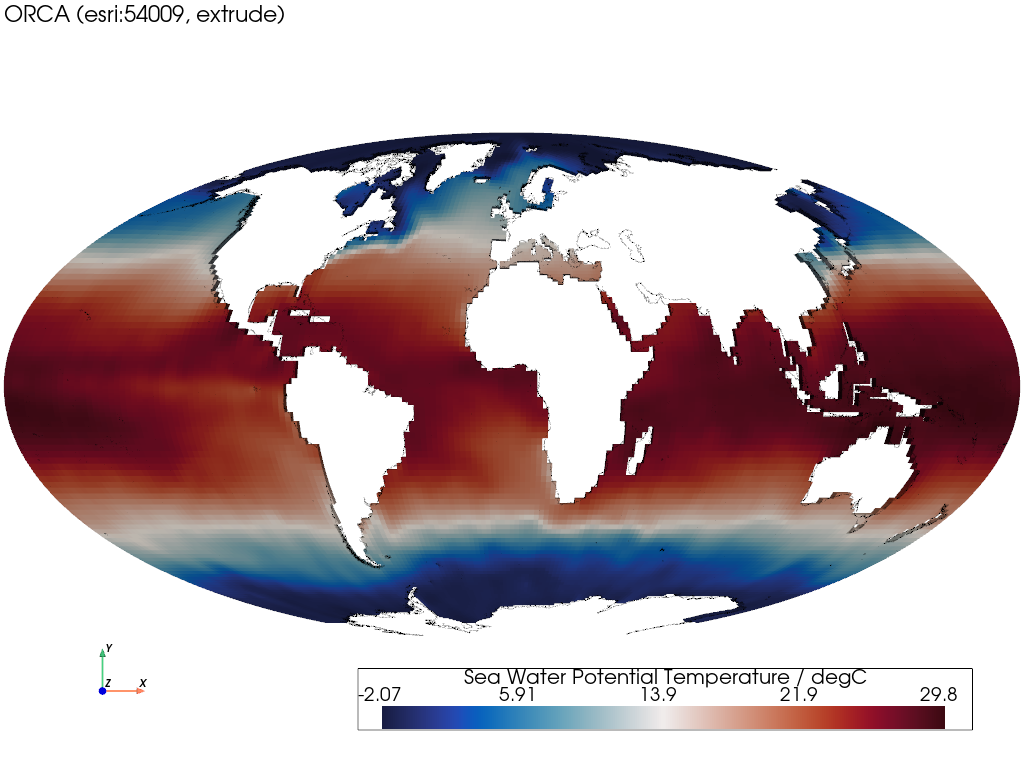
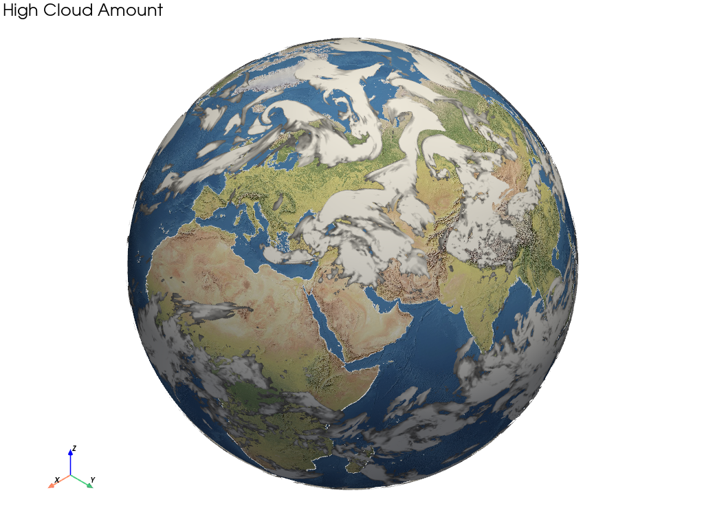
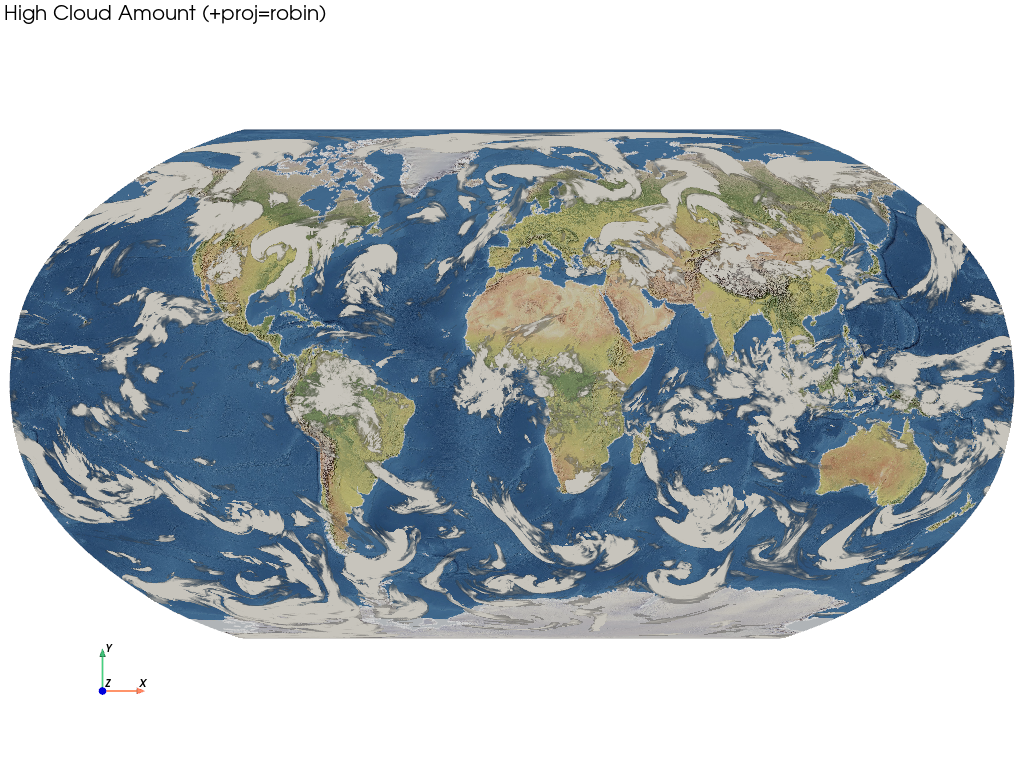
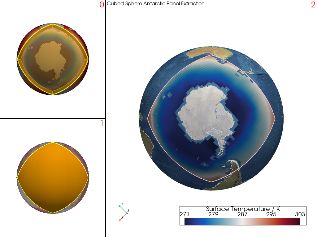
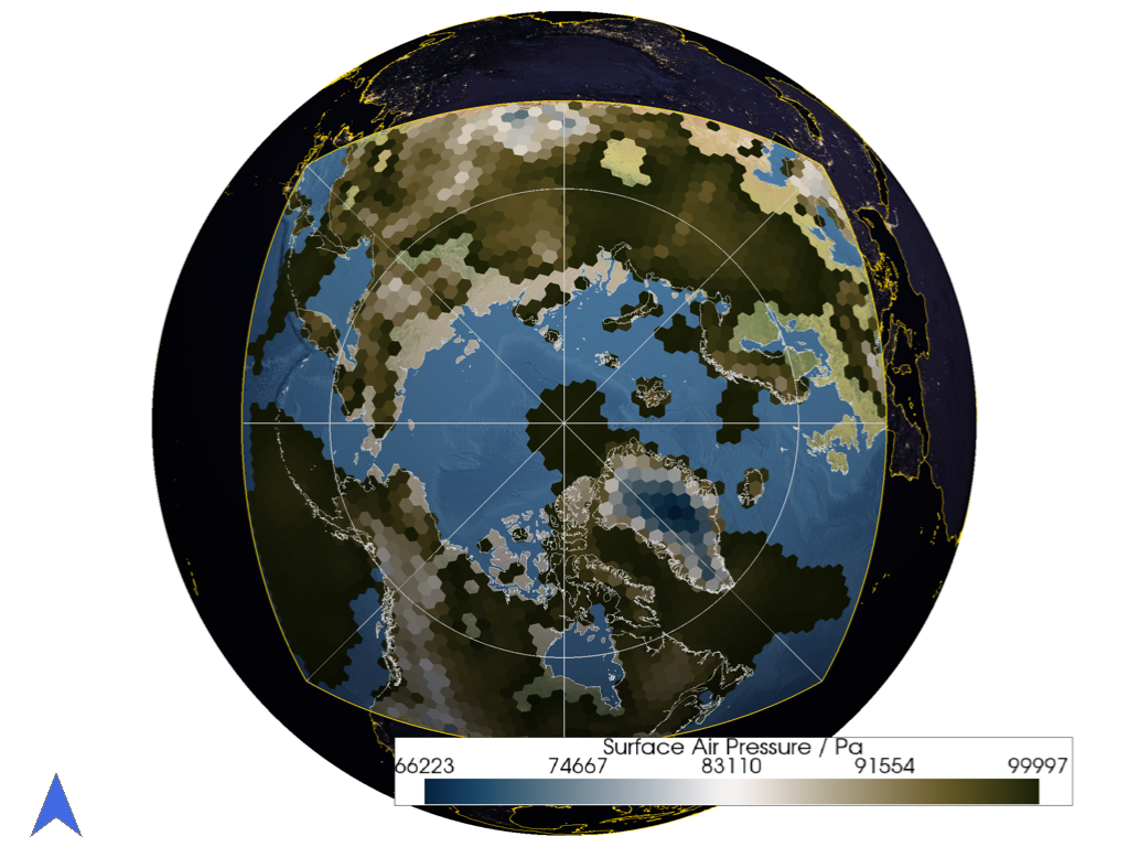
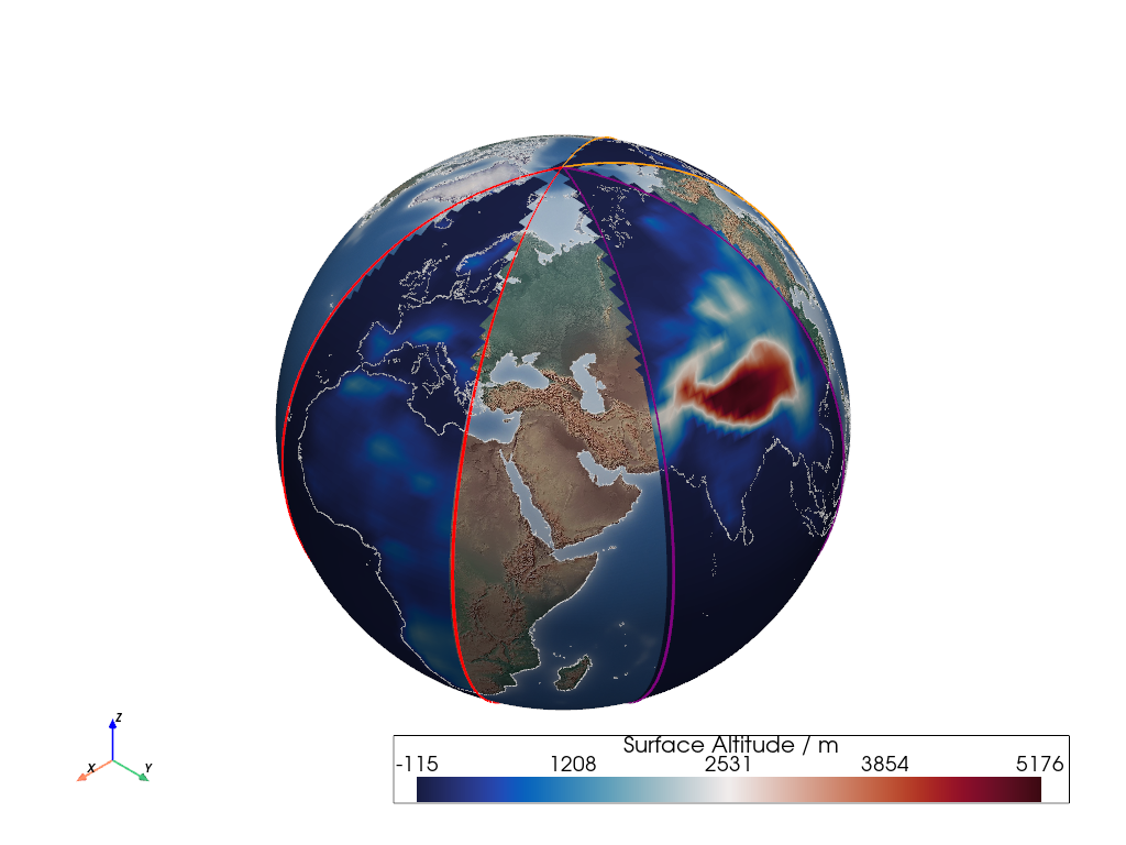
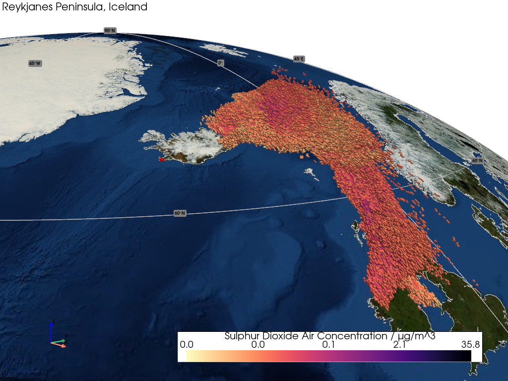
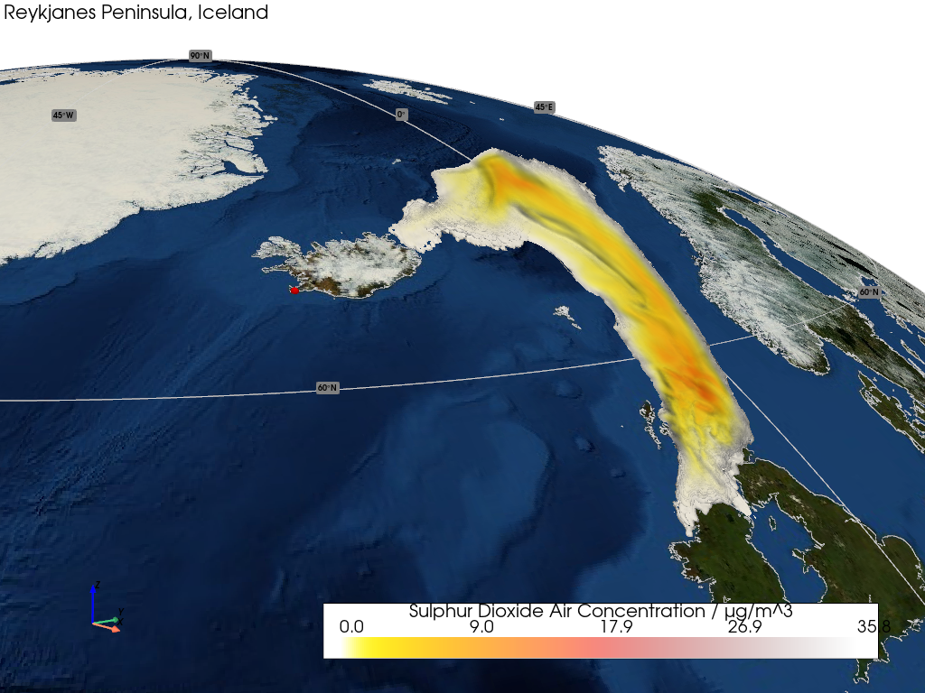
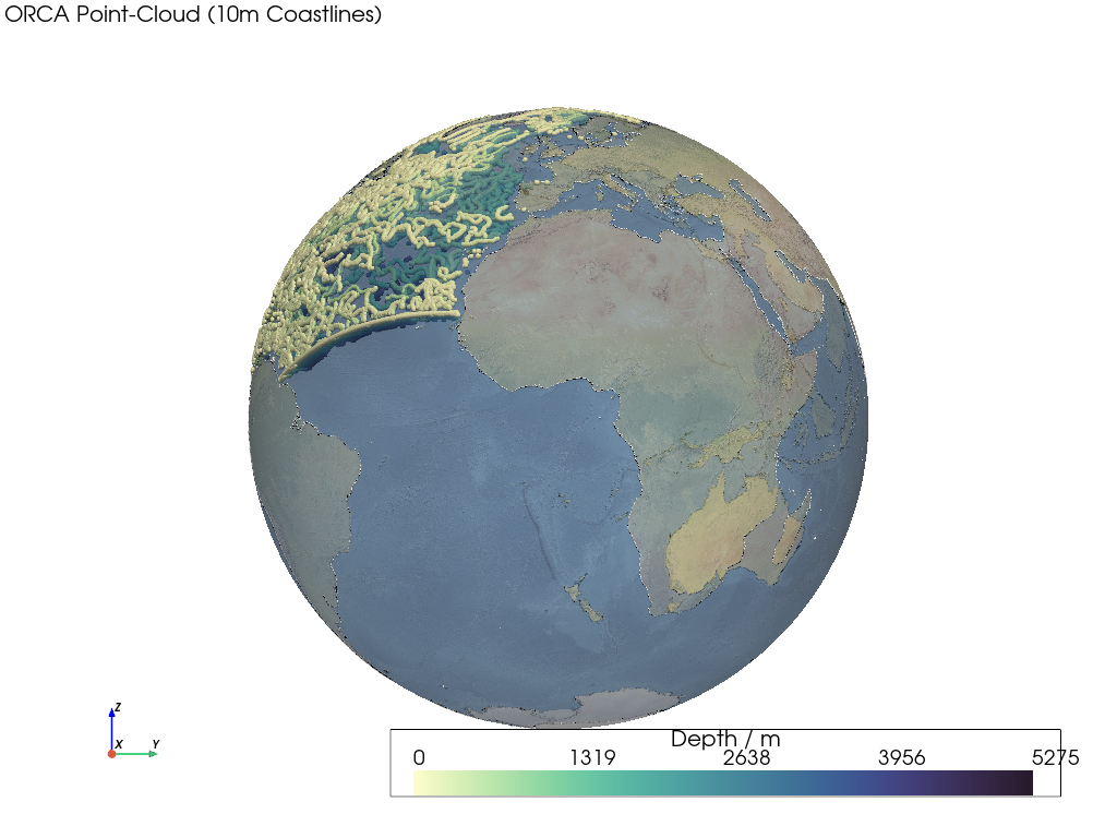
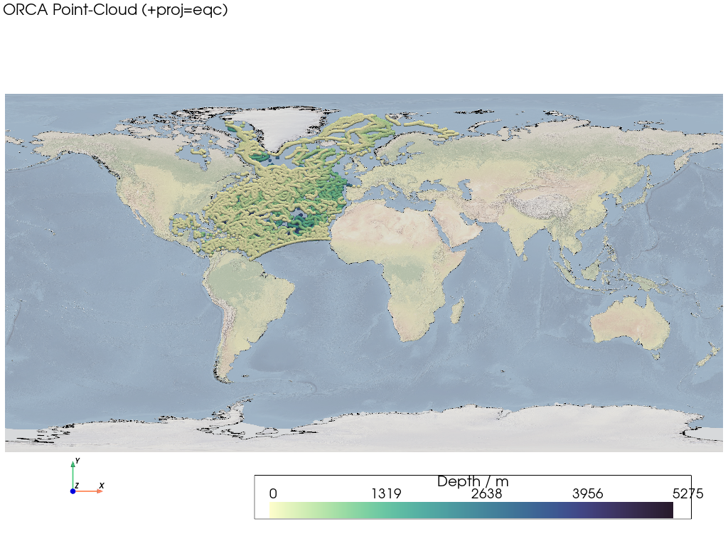
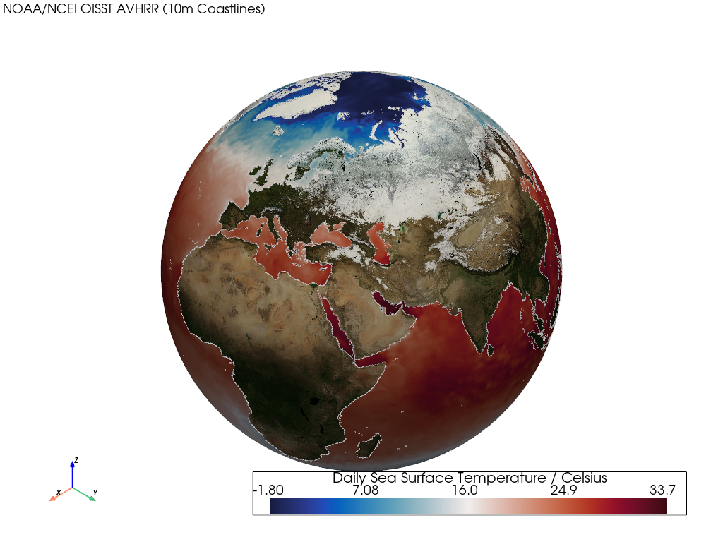
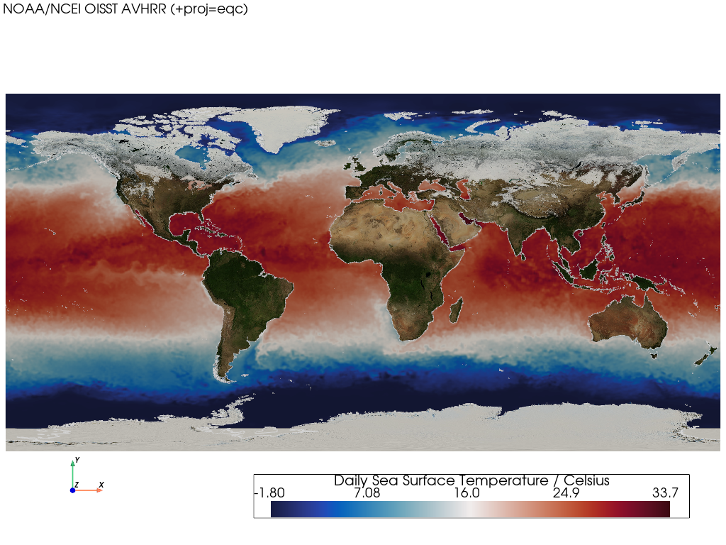
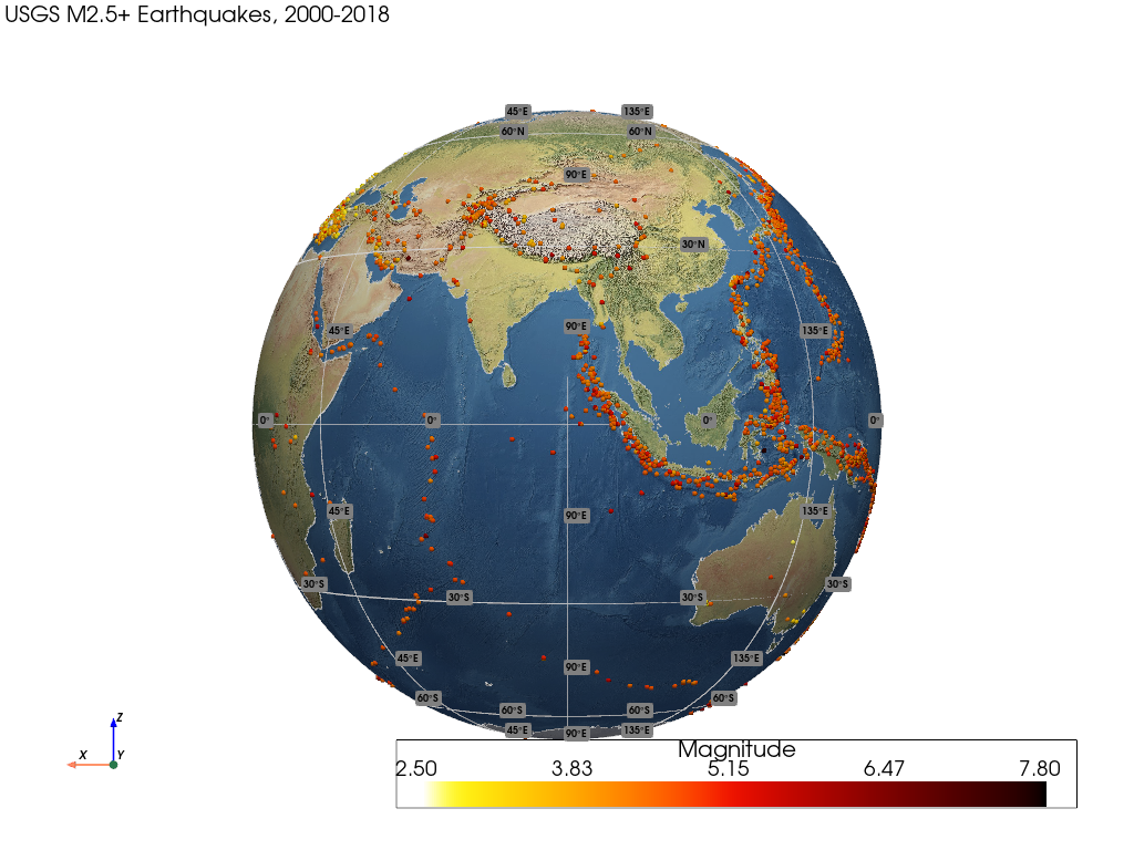
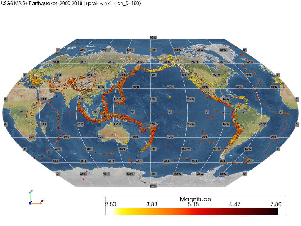
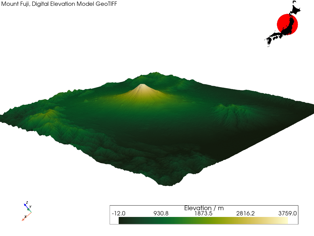
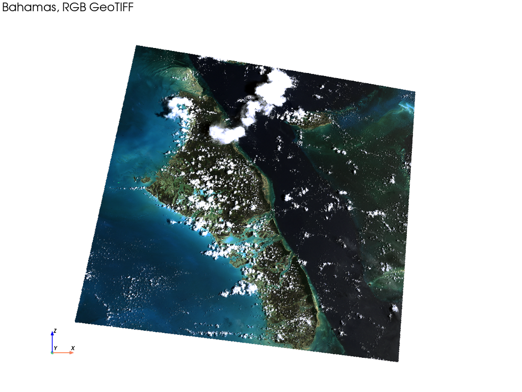
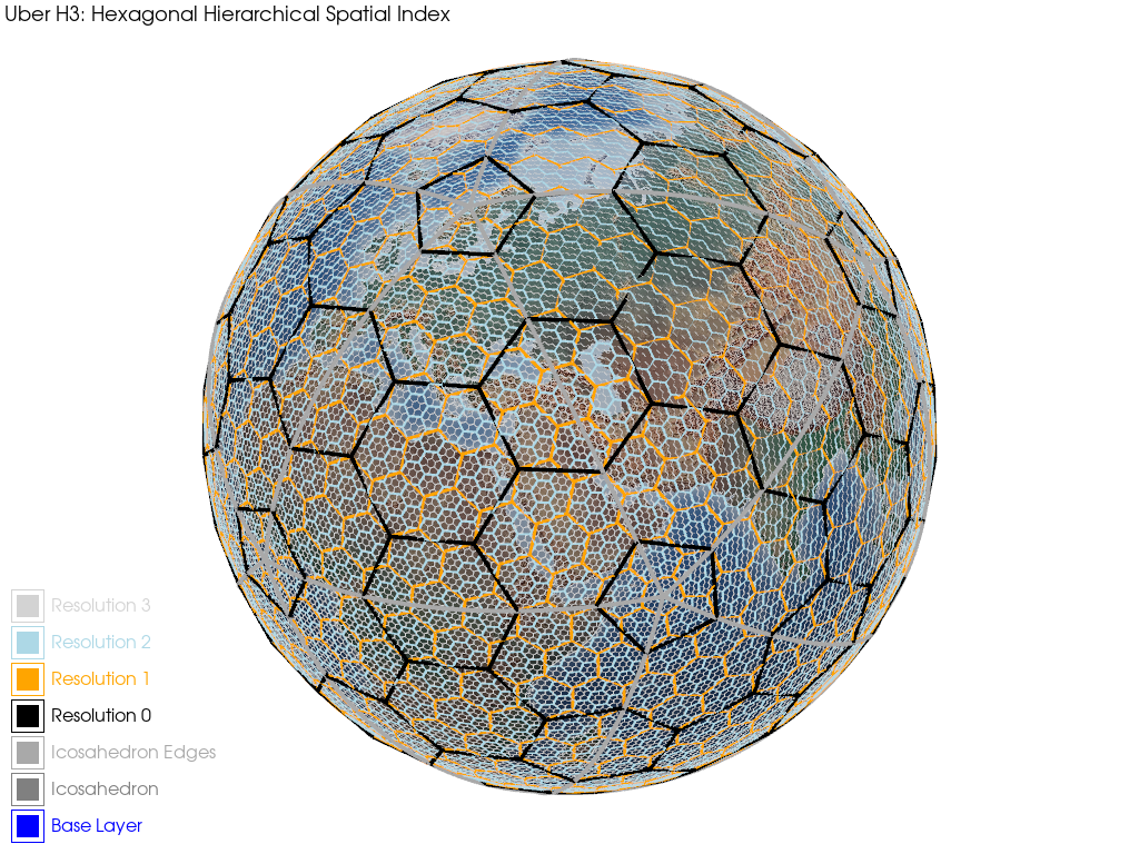
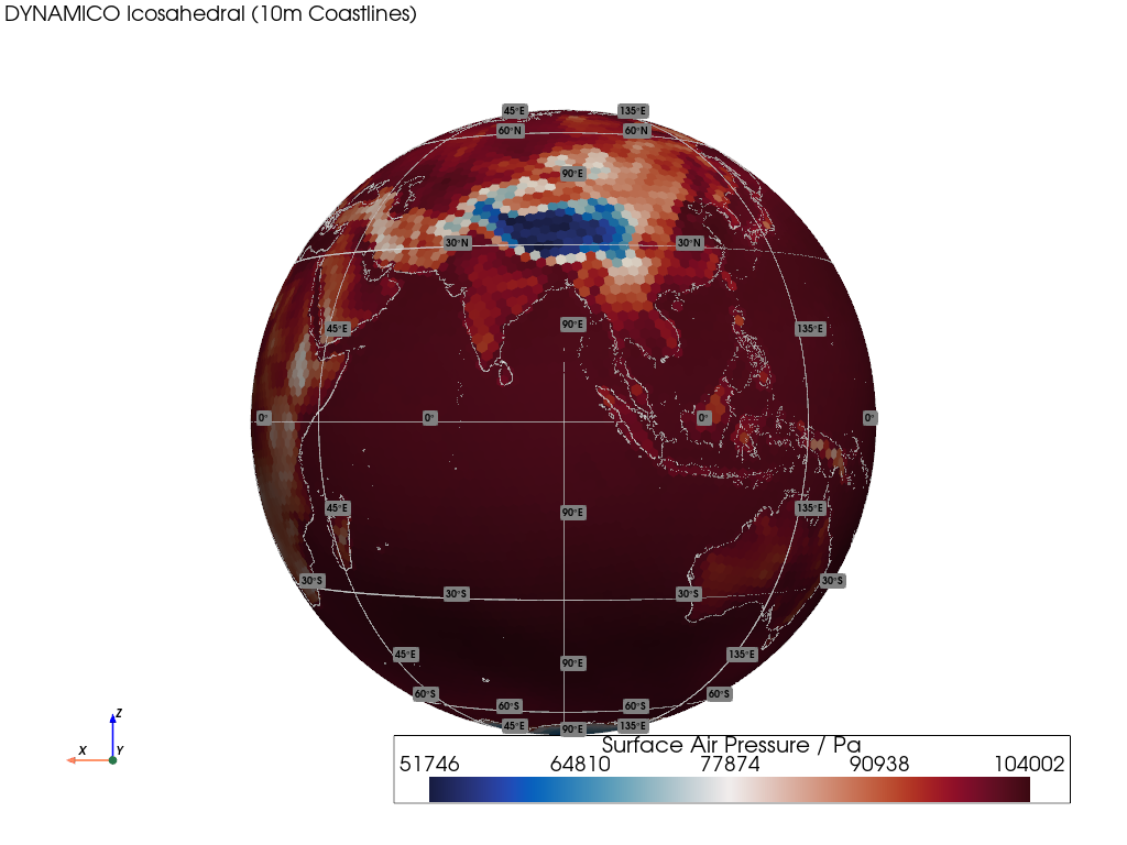
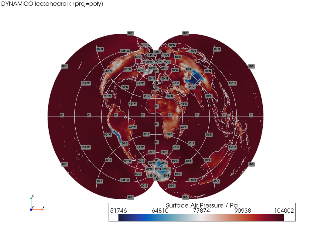
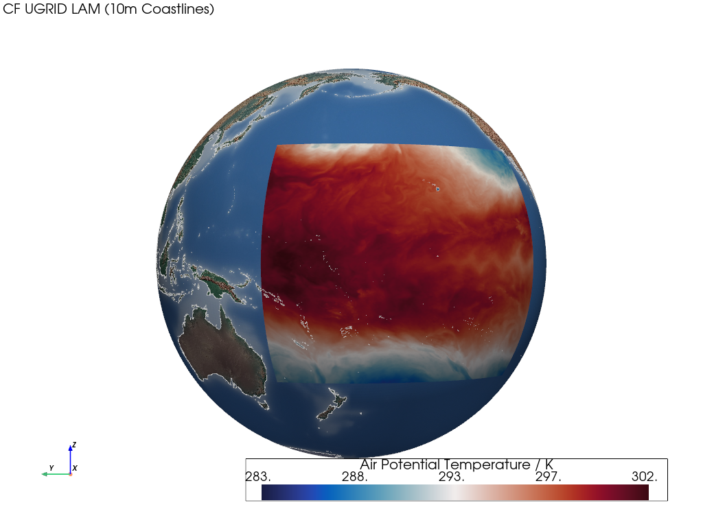
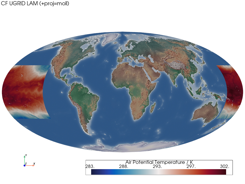
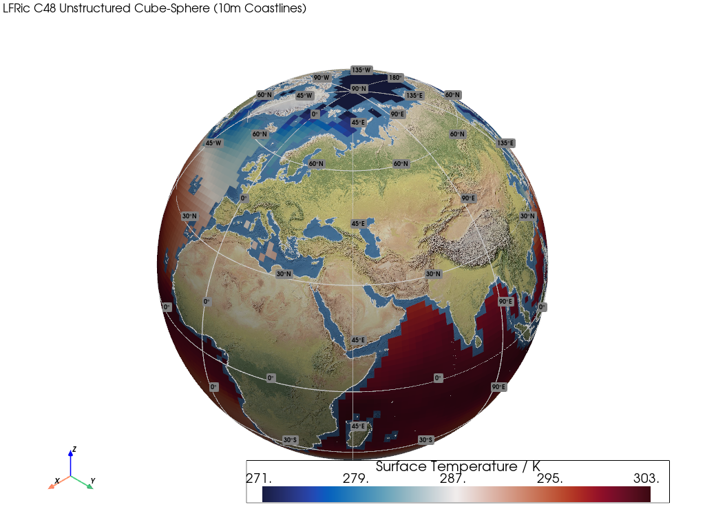
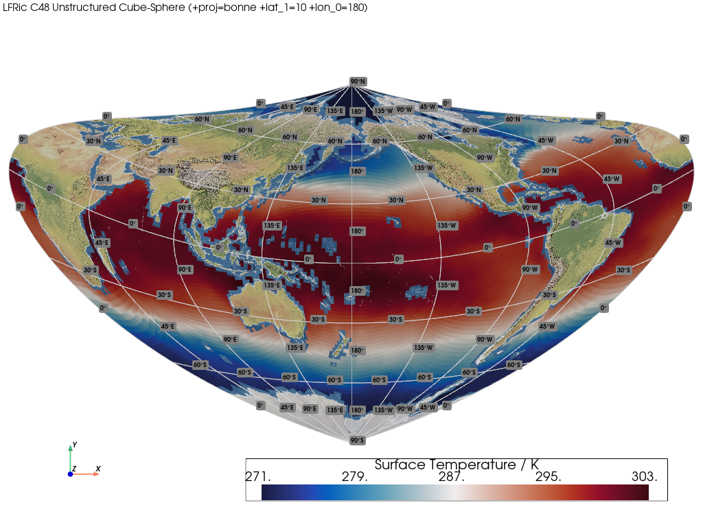
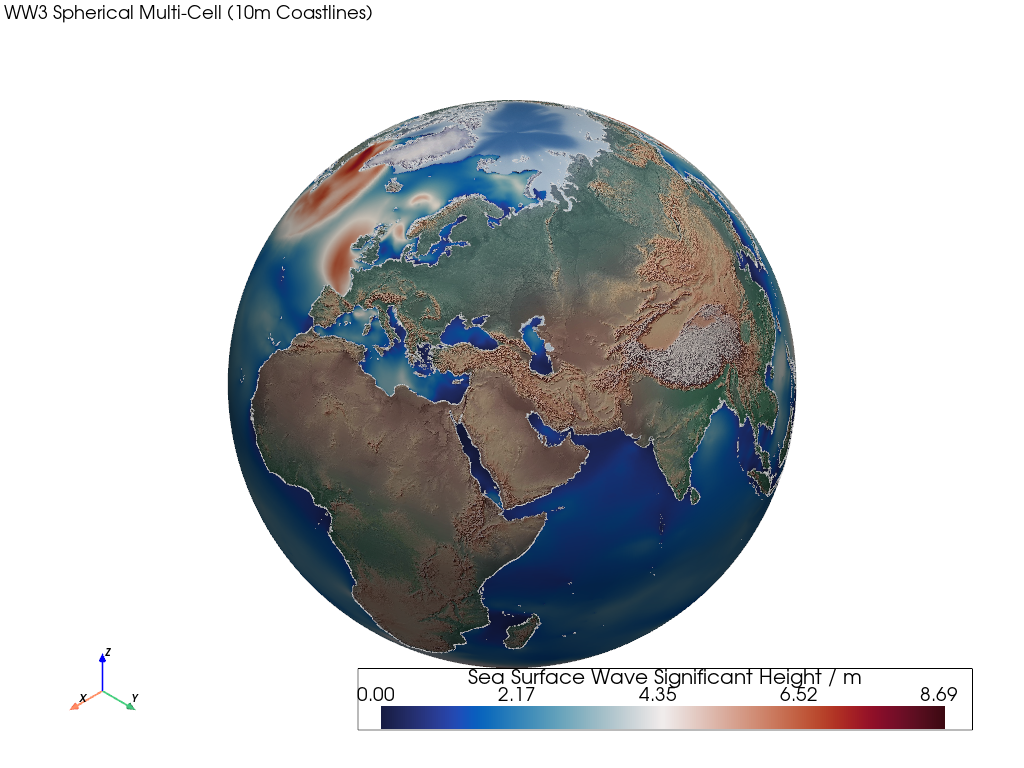
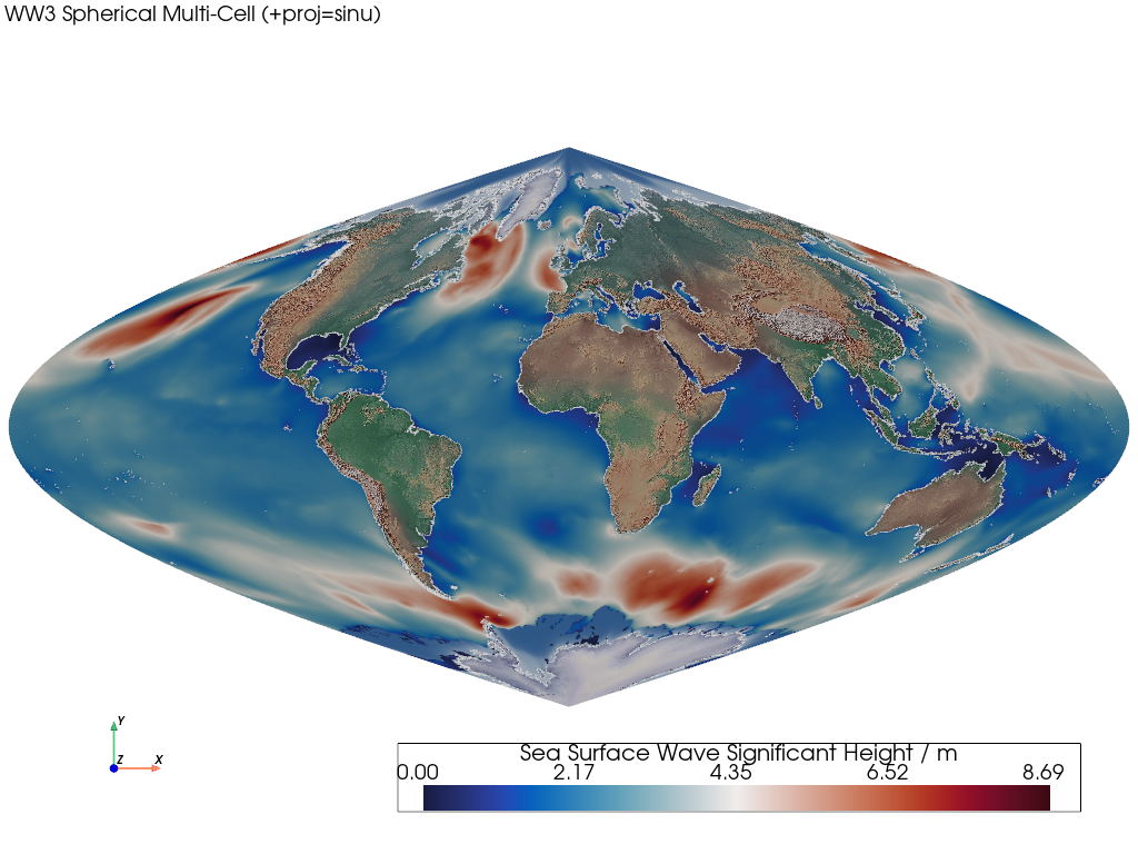
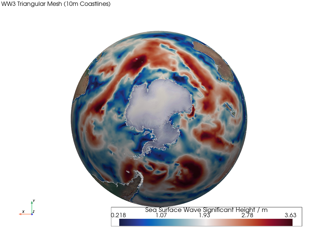
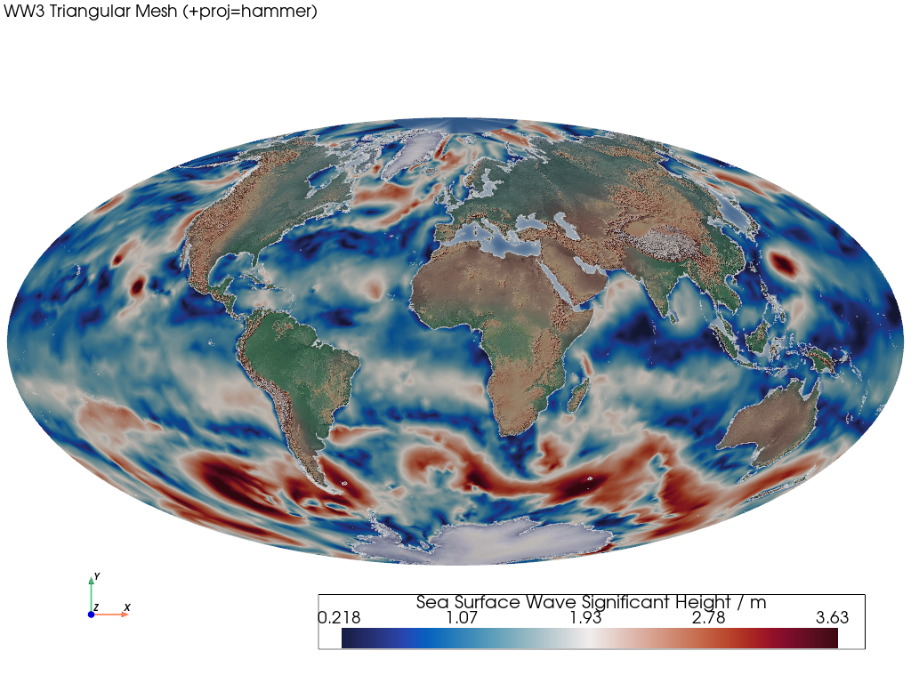
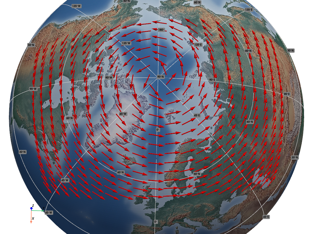
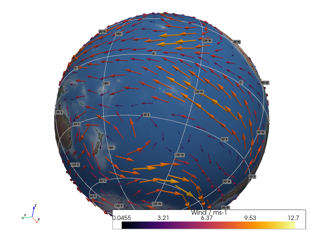
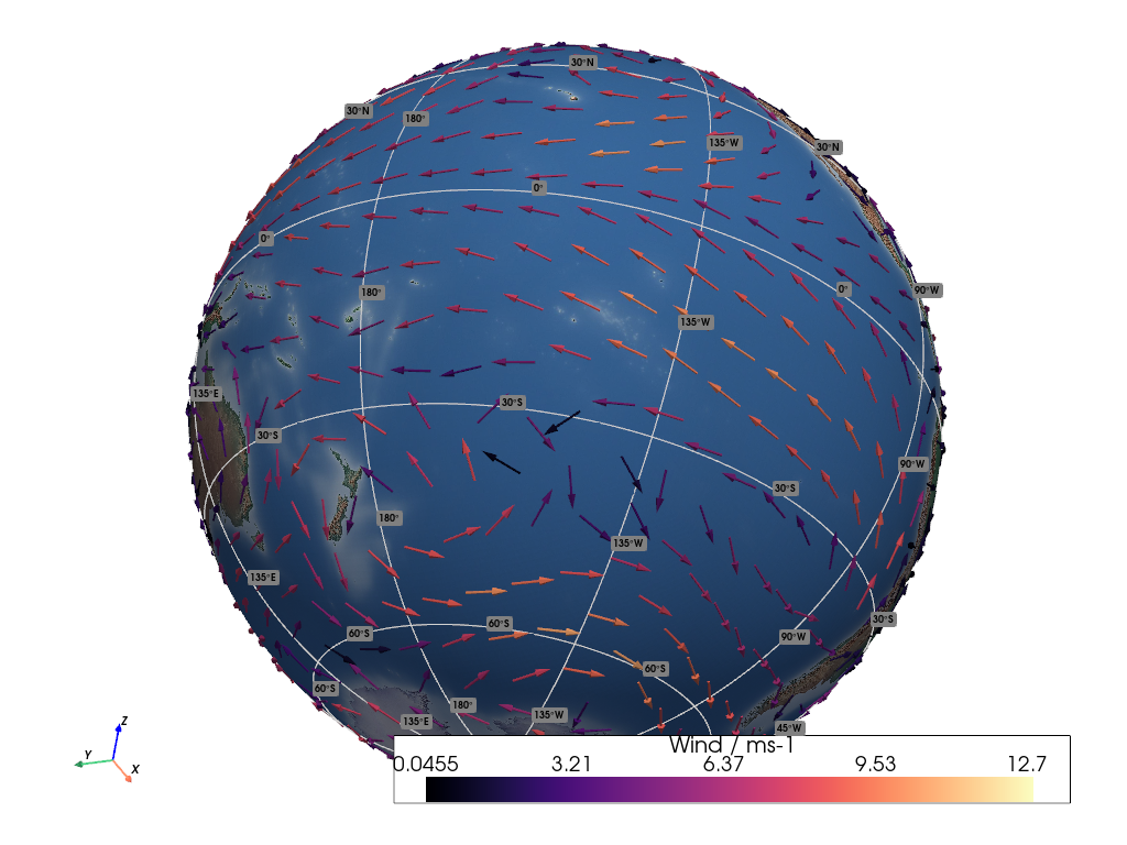
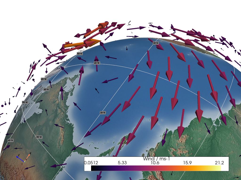

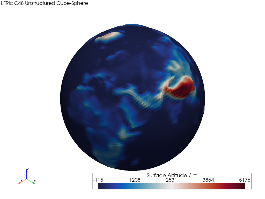
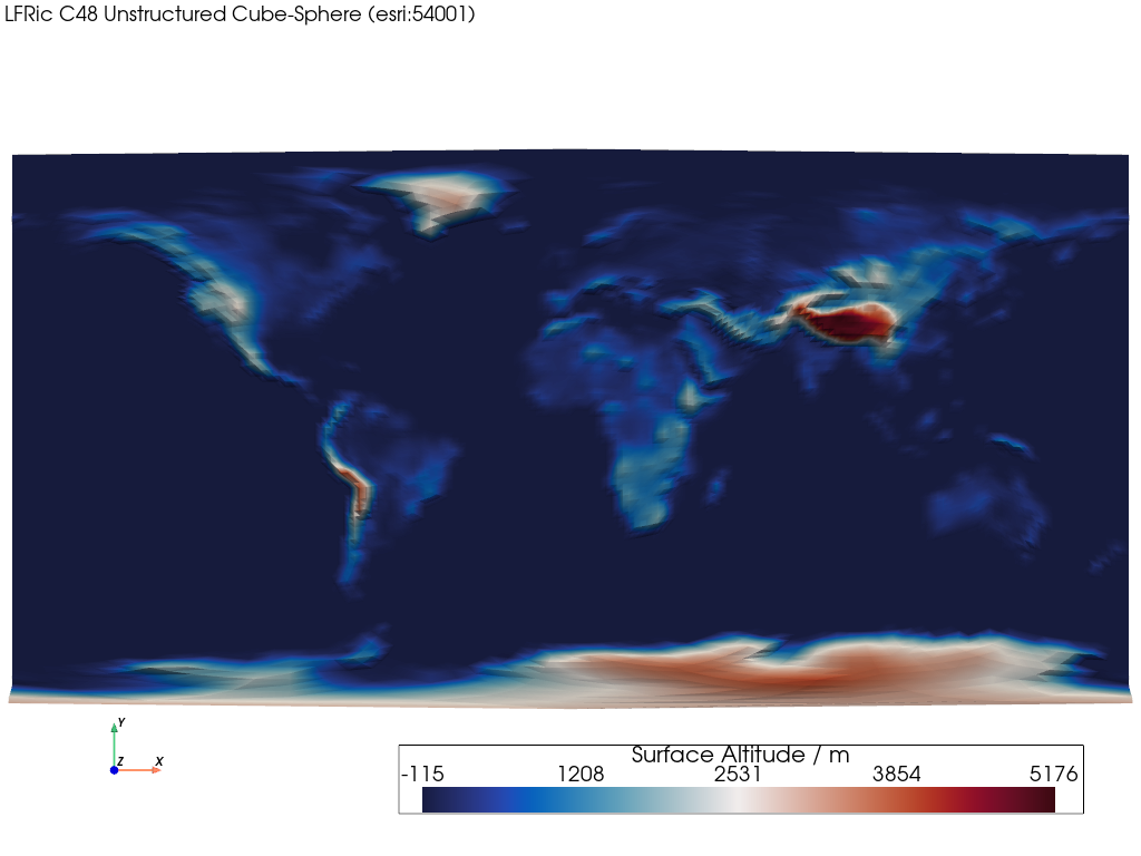
Gallery Carousel